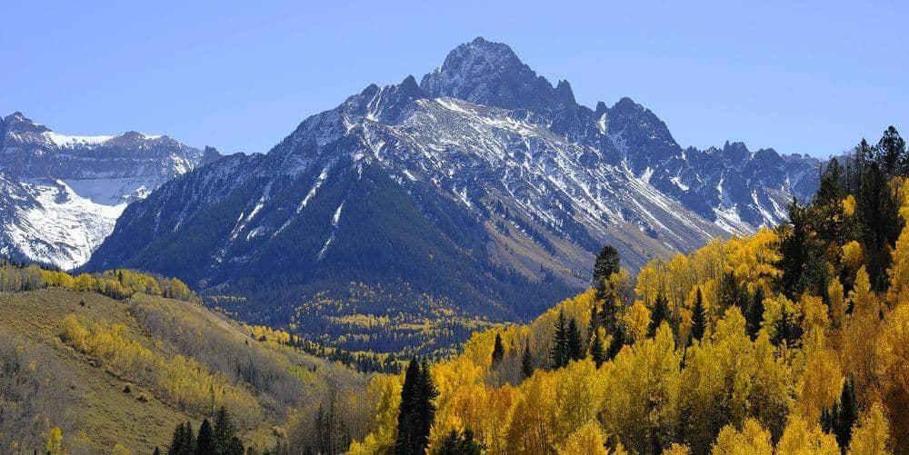
Mount Lincoln is the highest point in the Mosquito Range and the centerpiece of the Decalibron, the loop from Kite Lake that collects four fourteeners in about seven miles. The loop crosses private mining claims, and access has depended on an agreement with the claim owners since a closure in 2021.
Standard Route
From Kite Lake at 12,000 feet, the loop climbs the trail north to the Democrat-Cameron saddle at 13,400 feet. Most people go up Mount Democrat first, an 800-foot out-and-back from the saddle, then return and climb the broad slope to Mount Cameron at 14,238 feet. From Cameron the ridge drops slightly and rises to Lincoln's summit, 0.5 mile northeast. The loop then returns across Cameron's shoulder to Mount Bross and descends Bross's steep west slope back to Kite Lake. Total for the full loop: about 7 miles and 3,700 feet of cumulative gain.
What to Expect
The climbing is all Class 2 on trail and talus, and the difficulty is the altitude: you start at 12,000 feet and spend hours above 13,500, which flattens people who drove up from Denver that morning. The ridges are broad and have no shelter from wind or lightning. The descent off Bross is loose and steep and the part of the day most people dislike. Bross's true summit is closed to the public, and the trail contours below it.
Access & Logistics
Kite Lake is 6 miles above Alma on Park County Road 8, a gravel road that passenger cars manage in dry conditions, with a rough last mile. There is a day-use fee at the Kite Lake lot, which holds about 50 cars and fills by 5 AM on summer weekends. Hikers currently sign a free online liability waiver through the Town of Alma before using the loop; check the town's site for the current requirement and whether Bross is open.
When to Climb
County Road 8 opens when the snow clears, usually June, and the loop is in condition from late June through early October. Early-season parties may need microspikes on the north-facing trail to the Democrat saddle. Kite Lake sits at 12,000 feet, so nights are cold in any month.
Storms are the main hazard: the whole loop is above treeline with no way to get low quickly. Start at dawn and be descending Bross by noon.
Camping, Permits, and Nearby
Kite Lake has a small walk-in campground with tent sites, a vault toilet, and no reservations; it fills on Friday nights. Dispersed camping is allowed lower on County Road 8. Alma, at 10,578 feet the highest incorporated town in North America, has a store and a couple of bars; Fairplay, 6 miles farther, has gas and groceries. Sleeping in Alma or Fairplay the night before helps with the altitude. Mount Sherman, the fifth Mosquito fourteener, starts from Fourmile Creek Road west of Fairplay.
Gear Notes
Layers for wind, poles for the Bross descent, and microspikes in June. Bring two to three liters of water; there is none on the ridge.
Related Reading
Often Climbed With
Mount Cameron →
14,238 ft · Class 2 · 7 mi standard route
Planning a Mount Lincoln climb? Get the prep checklist.
Free PDF — pre-climb fitness, gear, weather decision tree. Plus weekly Colorado trail picks.
We respect your inbox. Unsubscribe anytime.