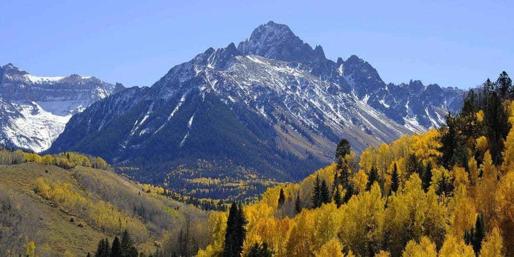
Mount Cameron is the second summit of the Decalibron loop, a broad 14,238-foot dome between Democrat and Lincoln. It does not meet the 300-foot prominence rule and is left off the ranked list, but every loop crosses its top, so it counts for most people's tallies.
Standard Route
From Kite Lake, climb the trail to the Democrat-Cameron saddle at 13,400 feet. Cameron is the wide slope to the east: a steady Class 2 walk of about 800 feet on talus and tundra to a flat summit plateau. The high point is marked by a cairn near the plateau's northeast edge. From there the ridge continues to Mount Lincoln, 0.5 mile northeast, and the loop returns over Cameron's shoulder toward Bross. Cameron alone from Kite Lake is about 4.5 miles round trip.
What to Expect
Cameron is the easiest summit of the four but the most exposed to weather, because its plateau is the high, open middle of the loop with the longest way down. If storms are building when you reach the saddle, this is where to turn around. The plateau is featureless in cloud, and parties have wandered off toward the wrong ridge in whiteout; keep the trail underfoot.
Access & Logistics
Kite Lake is at the end of Park County Road 8, 6 miles above Alma. Passenger cars manage the gravel road when dry. Expect a day-use fee at the lot and a full lot by 5 AM on summer weekends. The loop crosses private mining claims; sign the Town of Alma's free online waiver before you go and check current status.
When to Climb
Late June through early October, once County Road 8 opens and the trail to the saddle sheds its snow. Because Cameron's slope faces south, it dries earlier than the Democrat side. Summer thunderstorms arrive early on this range; plan the plateau for mid-morning at the latest.
Camping, Permits, and Nearby
Camp at the Kite Lake walk-in campground or at dispersed sites lower on the road. Alma and Fairplay have food and lodging, and Breckenridge is 45 minutes over Hoosier Pass for anyone who wants a bigger town. The Decalibron is a natural weekend trip: sleep at Kite Lake, walk the loop at dawn, and drive home by lunch.
Gear Notes
Wind layers and a warm hat, since the plateau is the coldest part of the loop. Microspikes in June, poles for the Bross descent.
Related Reading
Often Climbed With
Mount Lincoln →
14,293 ft · Class 2 · 7 mi standard route
Planning a Mount Cameron climb? Get the prep checklist.
Free PDF — pre-climb fitness, gear, weather decision tree. Plus weekly Colorado trail picks.
We respect your inbox. Unsubscribe anytime.