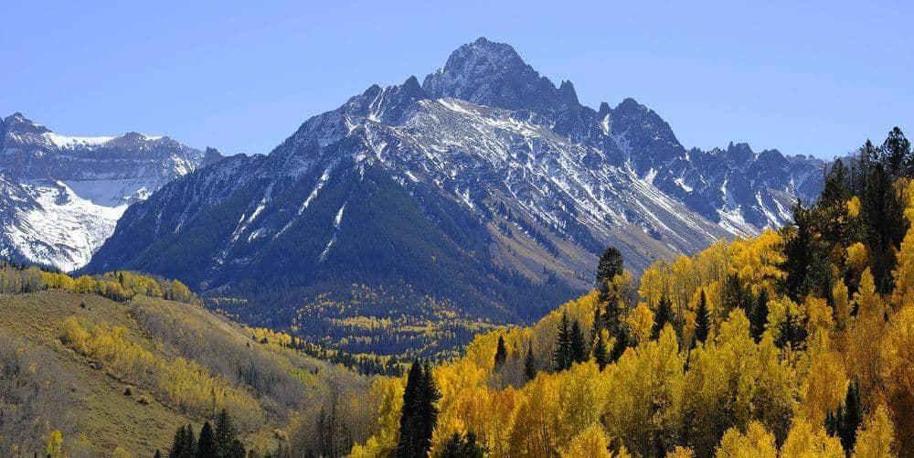
Mount Bross is the easternmost of the four Decalibron summits and the one with an asterisk: its summit sits on private mining claims whose owners have closed the high point to the public for years. The loop trail contours below the true top, and most people count the peak from there.
Standard Route
Bross is normally the last summit of the Decalibron loop. From Mount Lincoln, return across the shoulder of Cameron and follow the ridge trail southeast about a mile to Bross. The trail traverses below the summit on its west side, staying outside the closed area, then descends Bross's west slope back to Kite Lake on a steep, loose path. Doing the loop clockwise, Bross first, puts the loose slope on the ascent, which some people prefer. The full loop is about 7.5 miles and 3,700 feet of cumulative gain.
What to Expect
The ridge from Lincoln is easy Class 2 walking. The descent from Bross is the loop's worst footing: loose dirt and scree on a steep grade, hard on knees and easy to slip on. The closed summit area is signed; the claim owners have not allowed access to the high point in most recent years, and stepping over the boundary is trespassing. Check the Town of Alma's current notice before you assume anything about the summit.
Access & Logistics
Kite Lake, at the end of Park County Road 8 above Alma, is the trailhead for all four peaks. Gravel road, passenger cars fine when dry, day-use fee at the lot, full by 5 AM on summer weekends. A free online liability waiver through the Town of Alma is currently required to hike the loop.
When to Climb
Late June through early October. Bross's west slope faces the afternoon sun and dries early, but the descent is loose in any season and worse when wet. In a thunderstorm the ridge between Lincoln and Bross is the worst place on the loop to be; if weather is building at Lincoln, the fastest way down is back to the Cameron-Democrat saddle and the trail you came up.
Camping, Permits, and Nearby
Kite Lake's walk-in campground is first come and fills on Friday nights; dispersed camping is allowed lower on the road. Alma and Fairplay handle food, gas, and a bed. Bross's mining history is visible from the trail in the scarred slopes and old workings; the claims date to the 1870s silver boom that built Alma.
Gear Notes
Poles for the descent, above all. Wind layers, microspikes in June, and two to three liters of water.
Related Reading
Often Climbed With
Mount Lincoln →
14,293 ft · Class 2 · 7 mi standard route
Planning a Mount Bross climb? Get the prep checklist.
Free PDF — pre-climb fitness, gear, weather decision tree. Plus weekly Colorado trail picks.
We respect your inbox. Unsubscribe anytime.