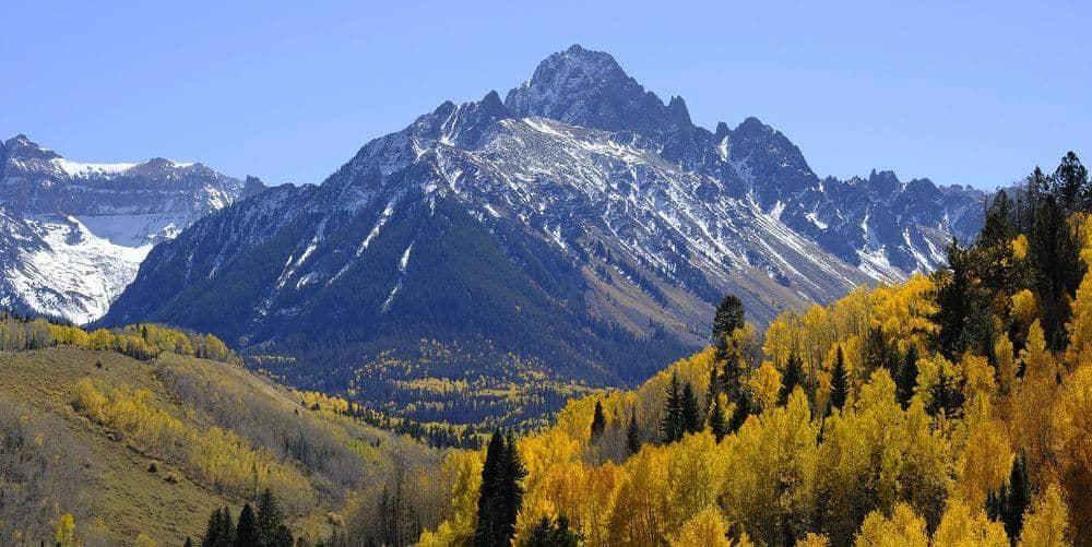
Mount Columbia is the Collegiate Peak that used to have the worst reputation in the Sawatch, thanks to a west slope of loose scree that slid a step back for every two forward. The Colorado Fourteeners Initiative rebuilt the route with a proper switchbacking trail, finished in the early 2020s, and Columbia is now a long but ordinary Class 2 day through Horn Fork Basin.
Standard Route
Start at the North Cottonwood Creek trailhead at 9,900 feet, northwest of Buena Vista. Follow the Horn Fork Basin trail, shared with the Mount Harvard route, for about 3 miles through aspen and meadows. The Columbia trail leaves the basin trail on the right below treeline and climbs the rebuilt West Slopes route: a long series of switchbacks up the grassy and rocky slope to the summit ridge, then a short ridge walk to the top at 14,077 feet. Total: 11.5 miles round trip, 4,200 feet of gain.
What to Expect
The new trail removes the scree misery, but the climb is still sustained, with roughly 3,000 feet of gain in the last 3 miles. The old scree gully is closed for restoration; stay on the switchbacks. The Harvard-Columbia traverse along the connecting ridge is Class 3 with a notoriously loose section and takes strong parties two to three hours; it is not the standard route for either peak and is a poor idea in weather. Most people climb the two peaks on separate days from the same trailhead.
Access & Logistics
From Buena Vista, take County Road 350 west and County Road 365 north to the North Cottonwood Creek trailhead, about 8 miles of gravel that passenger cars manage in dry conditions. The lot fills early on summer weekends. No fee or permit for day use.
When to Climb
Horn Fork Basin melts out in June and the West Slopes trail is usually dry by late June. July through September are the reliable months. The basin faces east and the route is sun-exposed, so heat and dehydration are real on August afternoons even at 13,000 feet.
Thunderstorms build over the Collegiates by early afternoon through the summer; the summit ridge has no shelter. Start at first light.
Camping, Permits, and Nearby
Horn Fork Basin has established backcountry campsites below treeline that make Columbia and Harvard a comfortable two-night trip; Collegiate Peaks Wilderness rules apply, with no fires above 11,000 feet and dogs on leash. Buena Vista, 20 minutes away, has lodging, groceries, and the Arkansas River for the day after. Mount Yale starts from Denny Creek on Cottonwood Pass Road, 15 minutes from the same town.
Gear Notes
Poles for the long descent, sun protection for the open slope, and three liters of water; Horn Fork Creek is the last water. A helmet is only needed if you attempt the Harvard traverse.
Related Reading
Planning a Mount Columbia climb? Get the prep checklist.
Free PDF — pre-climb fitness, gear, weather decision tree. Plus weekly Colorado trail picks.
We respect your inbox. Unsubscribe anytime.