Seven Bridges Trail, Colorado Springs: A Complete Hiking Guide
The Seven Bridges Trail is a 3.5 to 4 mile round trip hike in North Cheyenne Cañon on the southwest edge of Colorado Springs, and it gets its name from the seven wooden footbridges that carry you back and forth across North Cheyenne Creek. It's a moderate climb along rushing water, shaded by pines most of the way, and it's one of the most popular family hikes in the city for a reason: kids can count the bridges, the creek keeps everyone entertained, and you're back at the car in a couple of hours.
This guide covers what the hike actually feels like on the ground: how to find the trailhead, where to park when the small lot fills up, how hard the climb really is at 7,700 feet, what to bring, and how to link it up with the other stops in North Cheyenne Cañon. If you only want the short version, lace up a pair of grippy trail shoes, get there before 8 AM on a summer weekend, and count your bridges.
What You'll Learn
- Seven Bridges Trail at a glance
- Where the trail is and how to get there
- Parking and when to arrive
- What the hike is like, bridge by bridge
- How hard is the Seven Bridges Trail?
- What to bring
- Best time of year to hike it
- Hiking with dogs and kids
- Beyond the seventh bridge
- Other stops in North Cheyenne Cañon
- Frequently asked questions
Seven Bridges Trail at a glance
- Distance: About 3.5 to 4 miles round trip to the seventh bridge and back
- Elevation gain: Roughly 800 to 1,000 feet
- Trailhead elevation: Near 7,700 feet
- Difficulty: Moderate
- Trail number: 622 (North Cheyenne Cañon Trail)
- Time: 2 to 3 hours at a relaxed pace
- Fee: Free
- Dogs: Allowed on leash
- Restrooms: At Helen Hunt Falls and the Starsmore Discovery Center, not on the trail
- Water: Bring your own; the creek is not safe to drink untreated
- Trail surface: Rocky, rooty singletrack with seven creek crossings
Where the trail is and how to get there
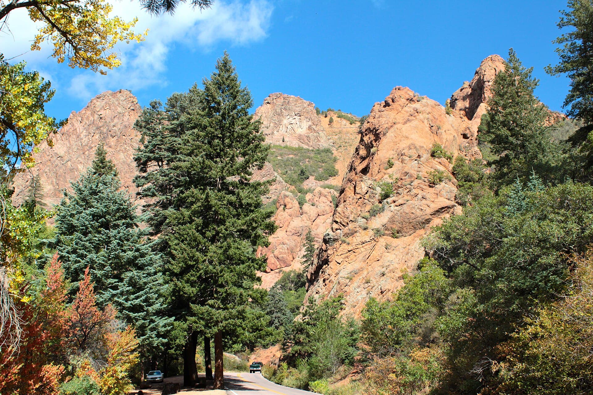
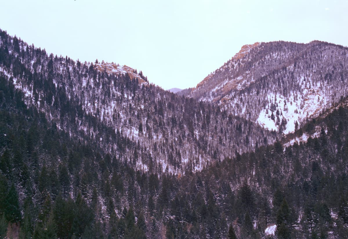
Seven Bridges is inside North Cheyenne Cañon Park, a free city park tucked into the foothills southwest of downtown Colorado Springs. Don't confuse it with Seven Falls, the paid Broadmoor attraction one canyon south. These are two different places with similar numbers in the name.
To reach the trailhead, drive to the mouth of the canyon on North Cheyenne Cañon Road, past the Starsmore Discovery Center, and keep climbing. The paved road winds about 3 miles up through the trees, past Helen Hunt Falls, and ends at a gate where it meets Gold Camp Road. That upper junction is where you park and start walking.
From the parking area, head uphill on the closed section of Gold Camp Road for a few hundred yards, then look for the singletrack that branches off to the right and drops toward North Cheyenne Creek. That's Trail 622. Once you're on it and cross the first wooden bridge, you're on the Seven Bridges route and you just follow the water uphill. A quick map check at the trailhead sign saves confusion, since a couple of trails share the first stretch of old road.
Directions from downtown Colorado Springs run about 15 to 20 minutes:
- Head south on Nevada Avenue
- Turn west on West Cheyenne Boulevard, which becomes North Cheyenne Cañon Road
- Follow the canyon road all the way up to the gate and parking at the top
Parking and when to arrive
Here's the honest part: parking is the hardest thing about this hike. The lot at the top of North Cheyenne Cañon Road is small, and it fills fast on summer weekends, holidays, and any warm Saturday morning. There's a smaller pullout lower down near Helen Hunt Falls, and roadside spots come and go, but on a busy day you can spend twenty frustrating minutes circling.
The fix is simple. Arrive early. Before 8 AM on a summer weekend you'll usually walk right into a spot at the top. By 10 AM you're gambling. Weekday mornings are calm almost year round. If the upper lot is full and you don't want to wait, park near Helen Hunt Falls and walk the road up, which adds a bit of distance but guarantees you're hiking instead of hunting for pavement.
North Cheyenne Cañon Park gates run on seasonal hours, generally opening early morning and closing in the evening, with a shorter window in winter. If you're planning a sunrise start, check the Colorado Springs Parks page for the current gate times so you don't arrive at a locked gate.
What the hike is like, bridge by bridge
The trail is a steady climb, never brutally steep, that shadows North Cheyenne Creek the whole way. The seven bridges are simple wooden footbridges, and they exist because the creek keeps crossing your path. Instead of rock-hopping and soaking your socks, you walk across, and each crossing gives you a new angle on the water tumbling over granite.
Between the bridges the tread is rocky and root-laced, with a few spots where you'll use your hands on a high step. Ponderosa pines and Douglas firs keep most of the route shaded, which is a gift on a hot afternoon and a big reason this hike stays comfortable in July. In spring the creek runs loud and full with snowmelt; by late summer it mellows to a friendly trickle.
Counting the bridges is the game. Families with kids turn the seventh crossing into the finish line, and it's a natural spot to sit on a rock, split a snack, and turn around. Most hikers treat the seventh bridge as the destination, which is what makes the round trip land in that 3.5 to 4 mile range.
How hard is the Seven Bridges Trail?
Call it moderate. The distance is short, but you're climbing 800 to 1,000 feet, and the trailhead already sits near 7,700 feet. If you flew in from sea level yesterday, that thin air will slow you down more than the grade will. Take your time, drink often, and don't be surprised if you're breathing harder than the map suggests.
The footing asks for a little attention. Loose rock and exposed roots mean this isn't a stroller trail, and the descent is where most people slip, since gravity plus small rocks equals a quick sit-down if you're not paying attention. Sturdy shoes with real tread handle it easily. A set of trekking poles takes the sting out of the downhill and steadies you on the bridges if you want the extra confidence.
If you're new to hiking at altitude, read up on how to pace yourself and spot the early signs of trouble in our guide to altitude sickness in Colorado before you go. It's rarely a problem on a hike this short, but the trailhead elevation is real.
What to bring
You don't need much for a hike this length, but a few things make it better:
- Water. Bring at least a liter per person, more on a hot day. A hydration reservoir in a small pack keeps your hands free for the bridges. The creek water is not safe to drink without treatment.
- A daypack. Something light to carry water, snacks, and a layer. Here's our roundup of the best hiking daypacks if you're shopping.
- Grippy footwear. Trail runners or light hiking shoes with lugs beat flat sneakers on the rocky, sometimes damp tread. A pair of trail shoes is the single upgrade that makes this hike feel easy.
- A rain shell. Colorado afternoons build thunderstorms fast in summer. A packable rain jacket weighs almost nothing and saves the day when the sky turns. See our picks for the best rain jackets for Colorado hiking.
- Sun protection. The shade helps, but you're a mile and a half up in the mountains. Hat, sunglasses, and sunscreen.
- Microspikes in winter. Snow and ice pack onto the bridges and shaded corners from roughly November into spring. A set of microspikes turns a sketchy walk into a safe one. Our microspikes guide breaks down the options.
Best time of year to hike it
You can hike Seven Bridges in every season, and each one gives you a different creek.
Spring (April to June) is the show. Snowmelt fills North Cheyenne Creek, the crossings roar, and everything greens up. The tread can be muddy and a few icy patches linger in the shade early in the season, so watch your footing.
Summer (June to August) is the busy season. Start early to beat both the crowds and the afternoon storms, and enjoy the shade the pines throw across the climb. This is the coolest low-elevation Colorado Springs hike you'll find on a hot day.
Fall (September to October) thins the crowds and drops the temperature into perfect hiking range. The creek runs quieter, and the light through the pines is worth the trip on its own.
Winter (November to March) turns it into a quiet, icy walk. The bridges get slick, so bring traction and take it slow. Fewer people means you might have the whole canyon to yourself.
Hiking with dogs and kids
This is a great hike for both. Dogs are welcome on leash, and Colorado Springs enforces the leash rule in its parks, so keep yours clipped in. The creek gives your dog plenty of chances to cool off and drink, though you'll want to keep paws off the bridges' gaps if your pup is small.
Kids do well here because the trail keeps them busy. There's a bridge to cross every few minutes, water to toss pebbles into, and a clear finish line at bridge seven. Little legs may need a break or two on the climb, so plan for a slower pace and pack extra snacks. Turning around early is fine; even reaching the third or fourth bridge makes a fun outing.
Beyond the seventh bridge
Most hikers stop at the seventh bridge, but the trail keeps going. Past the last crossing, Trail 622 climbs on and connects into the wider North Cheyenne Cañon network, including the Pipeline Trail and the route toward Jones Park. Strong hikers stitch these together into a longer loop of 8 miles or more with a lot more climbing.
If you're chasing that bigger day, carry a map, more water, and a plan, because the upper trails see fewer people and the junctions can be confusing. For a first visit, though, the out-and-back to bridge seven is the classic, and it's plenty.
Other stops in North Cheyenne Cañon
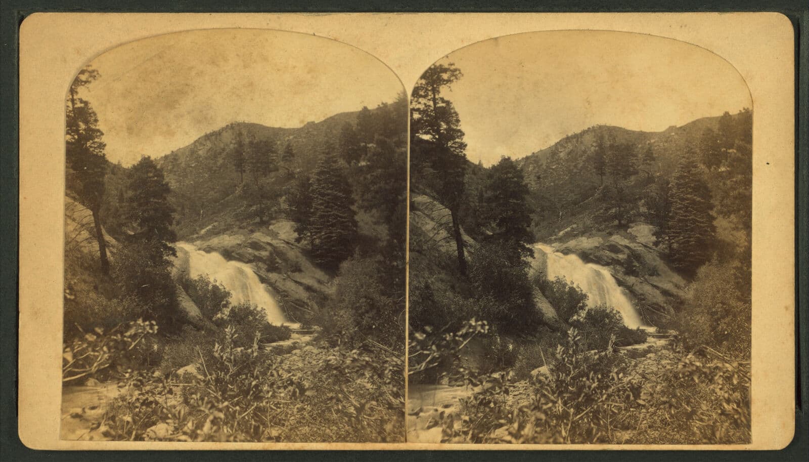
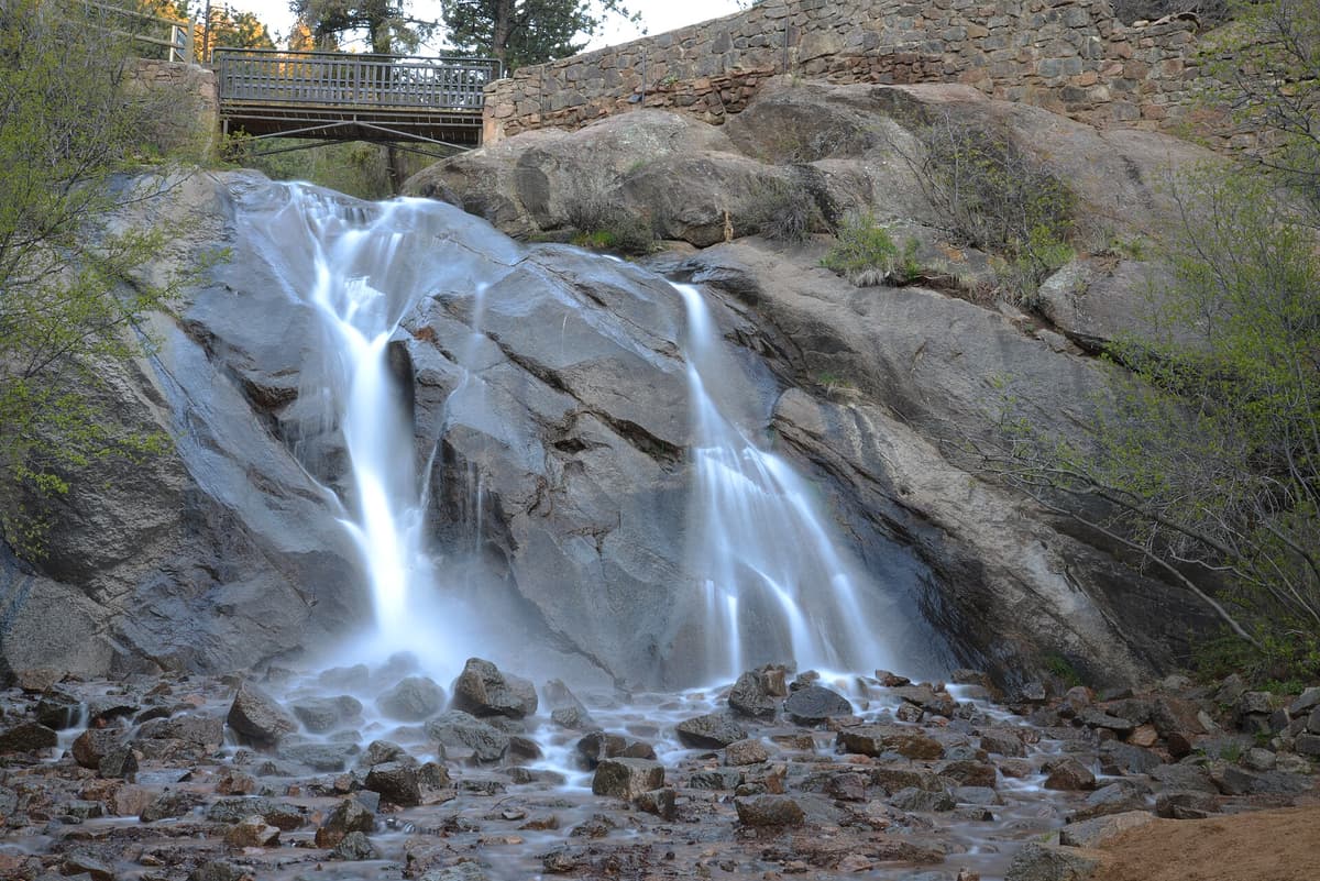
The beauty of parking in this canyon is how much sits within a short drive or walk of the trailhead. On your way up or down, stop at Helen Hunt Falls, a roadside waterfall with a quick staircase to a viewing bridge, and the steeper spur up to Silver Cascade Falls above it. The Mount Cutler Trail and St. Mary's Falls Trail both leave from the same canyon if you want a second hike.
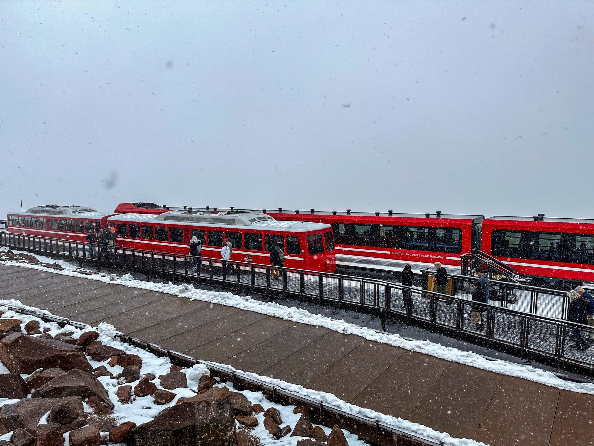
For planning a full day in the area, our guide to the best hikes near Colorado Springs rounds up the region, and the nearby Garden of the Gods and Pikes Peak via the Barr Trail make natural add-ons to a Colorado Springs trip. If you'd rather see the paid falls next door, we cover that in our Seven Falls visitor guide.
Frequently asked questions
How long is the Seven Bridges Trail?
The out-and-back to the seventh bridge and back runs about 3.5 to 4 miles with roughly 800 to 1,000 feet of elevation gain. Most people finish in 2 to 3 hours at a relaxed pace, including snack and photo stops along the creek.
Is the Seven Bridges Trail hard?
It's moderate. The distance is short, but the steady climb and the 7,700-foot starting elevation make it feel like a workout, especially if you're not used to the altitude. The rocky footing calls for decent shoes, and the descent is where people slip, so take the downhill slowly.
Do you have to pay to hike Seven Bridges?
No. Seven Bridges sits in North Cheyenne Cañon Park, a free Colorado Springs city park. That's different from Seven Falls, the ticketed Broadmoor attraction in the next canyon over. Parking at Seven Bridges is free too, when you can find a spot.
Where do you park for the Seven Bridges Trail?
Park at the top of North Cheyenne Cañon Road where the pavement ends at the Gold Camp Road gate. The lot is small and fills early on weekends, so arrive before 8 AM in summer, or park lower near Helen Hunt Falls and walk up.
Can you bring dogs on the Seven Bridges Trail?
Yes, on a leash. Colorado Springs requires dogs to be leashed in its parks, and the creek gives your dog plenty of places to cool off. Bring water and clean up after your pet to help keep the trail open to dogs.
Seven Bridges is the kind of hike you can talk a reluctant friend into and still call a real mountain outing. Short, shaded, and full of water, it packs a lot of Colorado into a couple of hours. Get there early, count all seven bridges, and save time for Helen Hunt Falls on the way down. For more trails in the area, start with our best hikes near Colorado Springs guide.
Get the Colorado 14er Packing Checklist (free PDF)
Plus a weekly note on the best Colorado trails, gear deals, and seasonal hike picks. No spam, unsubscribe anytime.
We respect your inbox. Unsubscribe anytime.