How to Keep Your Bearings While Hiking in Unfamiliar Terrain
The best way to keep your bearings while hiking in unfamiliar terrain is to combine a map and compass with regular location checks (a back-bearing every 15 to 20 minutes, plus a GPS as backup). That single habit, done over and over, prevents almost every "how did I end up here" moment in the backcountry. The rest of this guide breaks it down: which gear actually matters, how to set declination for Colorado, what to do the second you realize you are off route, and the local quirks (alpine tundra, false summits, monsoon fog) that throw hikers off in the Rockies.
I have made every dumb mistake out there. Trusted my phone, watched it die at 12,000 feet. Followed a faint social trail that dead-ended in willows. Walked an hour in the wrong direction because I never bothered to confirm I was on the right ridge. Everything below is what I wish someone had told me before the first time I stepped off a marked trail.

What you will learn
- The fastest answer to the quiz question (snippet-ready)
- How to pick a real compass and a real map
- Setting declination for Colorado the right way
- Back-bearings, every 15 to 20 minutes
- Smart GPS use (and when phones fail)
- The STOP method when you realize you are off route
- Colorado-specific trail navigation problems
- A short gear list and FAQs
The fastest answer
Carry a paper topo map and a baseplate compass, set declination for your area before you start, and shoot a back-bearing every 15 to 20 minutes so you can always retrace the last leg. Use a GPS app like Gaia GPS, onX Backcountry, or CalTopo as your backup, with offline maps downloaded and a battery pack in your bag. If you ever feel turned around, stop moving, sit down, and run the STOP method (Stop, Think, Observe, Plan) before taking another step.
That is the whole post in three sentences. The rest is detail and the reasons each habit matters.
1. Carry a real map and a real compass
A phone is great until it is dead, frozen, or buried under a wet glove. The hikers who rarely get lost carry paper backup, every single time.
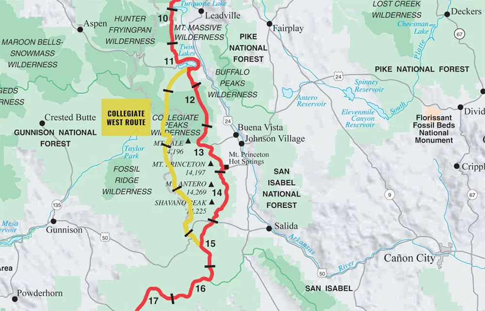
Topo maps. USGS 7.5-minute quadrangles (1:24,000 scale) are the standard for the Rockies. You can print them free from the USGS National Map site, or order waterproof versions from CalTopo and National Geographic Trails Illustrated. For Colorado, the Trails Illustrated series covers most major ranges (Indian Peaks, Rocky Mountain NP, San Juans, Maroon Bells) at 1:40,000 or so, which is the right zoom for a day hike. Slip the map in a freezer bag or a dedicated waterproof map case and clip it to your shoulder strap so you actually look at it.
Compass. Get a baseplate compass with an adjustable declination scale. The two you see in everyone's pack:
- Suunto MC-2 (around $70): global needle, mirror sight, declination adjustment. The one most search-and-rescue volunteers I know carry.
- Silva Ranger 2.0 (around $55): same idea, slightly lighter, also bombproof.
Skip the keychain button compasses. They cannot take a bearing, the needle sticks, and they have no declination adjustment. You want something with a clear baseplate, a rotating bezel marked in 2-degree increments, and a long direction-of-travel arrow.
Why phones alone fail. Cold drains lithium batteries fast (a 2024 study from the University of Michigan measured 30 to 50 percent capacity loss at 14 F). Screens lock up when wet. GPS chips struggle in narrow canyons and under heavy timber. If you are above treeline in a thunderstorm and your phone is your only navigation, you are one drop into the talus from being lost.
2. Take a baseline bearing at the trailhead
Before you walk away from the car, do two things: orient your map to north using the compass, and take a bearing back toward the trailhead (the back-bearing of your direction of travel). Write it on the map margin or on the back of your hand. Now you have a number you can dial in if you ever need to walk straight home.
Set declination for Colorado
Magnetic north and true north are not the same place. Declination is the angle between them, and it changes by location and slowly over time. As of 2026, Colorado's magnetic declination runs roughly 7 to 9 degrees east, depending where you are in the state. Denver sits around 8.0 E. Telluride is closer to 8.7 E. Estes Park is about 7.8 E.
The exact current value for your trailhead is at the NOAA NCEI declination calculator (ngdc.noaa.gov/geomag/calculators/magcalc.shtml). Look it up the night before, then dial the declination ring on your compass to match. Most baseplate compasses have a small screw on the back of the bezel for this. Once set, every bearing you take is automatically corrected, and you can ignore the difference between map north and compass north for the rest of the trip.
If you skip declination, an 8-degree error over 2 miles puts you about 1,500 feet off target. That is the difference between hitting your saddle and walking onto the wrong drainage.
3. Take back-bearings every 15 to 20 minutes
A back-bearing is the bearing pointing from where you are now back to where you just came from. The technique:
- Stop at a feature you can identify on the map (junction, stream crossing, knob, distinctive rock).
- Note the time and your map position.
- Look back the way you came and shoot a bearing on a distant landmark behind you.
- Add or subtract 180 degrees, write it down.
Now you have a return route locked in. If a storm rolls in or fog drops the visibility to 50 feet, you can dial in that back-bearing and walk a straight line to safety.
Concrete example. You leave the trailhead at Brainard Lake heading to Lake Isabelle, 240 degrees on the compass. Twenty minutes later you stop at the Long Lake outlet. You add 180 to get 60 degrees, write "0840, Long Lake outlet, return 060" in your notes. Twenty minutes later, at Lake Isabelle, you take another reading. Now you have two waypoints with bearings. If the weather closes in, you walk 060 from Lake Isabelle back to Long Lake outlet, then take whatever bearing gets you to the trailhead. No guessing.
This is the one habit that separates hikers who get lost from hikers who do not. Set a watch alarm if you have to.
4. Use GPS as a backup, not as the primary
GPS is amazing. It is also a tool that fails at the worst possible moment, which is why it belongs in the backup slot, not the lead slot.
The three apps worth installing:
- Gaia GPS ($40 a year): best overall topo coverage, integrates USGS quads, NatGeo maps, and CalTopo layers. Premium gets you offline downloads for any area.
- onX Backcountry ($30 a year): strongest land-ownership and trail data, helpful when you are bushwhacking near private inholdings on the Front Range.
- CalTopo (free tier works, $50 for Pro): the trip-planning tool. Print custom maps with your route, contours, and slope shading. I plan every off-trail trip in CalTopo, then export to Gaia for the hike itself.
Download offline before you leave Wi-Fi. Cell coverage drops the second you start gaining elevation. Download a buffer of at least 5 miles around your route at high resolution. Test the download by opening the app in airplane mode at home.
Battery management. A cold iPhone 15 in airplane mode with the screen off uses about 4 to 6 percent per hour while logging a GPS track. A warm pocket and a 10,000 mAh USB-C battery pack will get a full day plus an overnight out of one phone. Better still, buy a dedicated GPS watch (the best GPS watches for hiking Colorado post breaks down current Garmin and COROS picks). A watch lasts 30 to 70 hours in GPS mode and doubles as a backup if your phone dies.
Why a dead phone at 11,500 ft is a problem. That elevation is roughly where you crest treeline in most of Colorado's ranges. You lose the trail-finding shortcut of "follow the cut through the trees." Cairns get knocked over. Snow patches hide the path. If your phone dies right there, and you skipped the paper map, you are now reading a featureless tundra with nothing to triangulate on. That is the situation that calls Alpine Rescue Team out a dozen times a summer.
5. What to do when you realize you are off route
You will, at some point, look around and not know exactly where you are. Everyone does. The right move is almost never to keep walking.
The STOP method
S, Stop. Sit down. Do not take another step. Most search-and-rescue stories start with someone who pressed on for "just five more minutes" and made the problem ten times worse.
T, Think. When did you last know where you were? What direction were you heading? How long ago? What did you see in the last 10 minutes?
O, Observe. Pull out the map. Pull out the compass. Look around for landmarks: distinct peaks, drainages, rock formations. Try to match what you see to what is on the map.
P, Plan. Pick one of three plays based on what you find:
- Retrace your steps if you can clearly identify your back-bearing and a recent waypoint. Walk back to the last known point.
- Stay put if conditions are bad (fog, dark, storm) or you are unsure. Make yourself visible. Three whistle blasts repeated every few minutes is the universal distress signal.
- Call for help if you have a signal or a satellite communicator. Garmin inReach Mini 2 and the iPhone 14+ emergency satellite feature both work in most of Colorado. Give your coordinates from the GPS app, your condition, and stay where you are.
Do not bushwhack downhill toward what looks like a road. In Colorado's high country, that strategy ends in willows, cliffs, or a creek bed boxed in by 200-foot walls. Stay high, stay visible, stay put if in doubt.

Colorado-specific trail navigation challenges
The Rockies have a few quirks that throw off hikers who learned to read maps in the East.
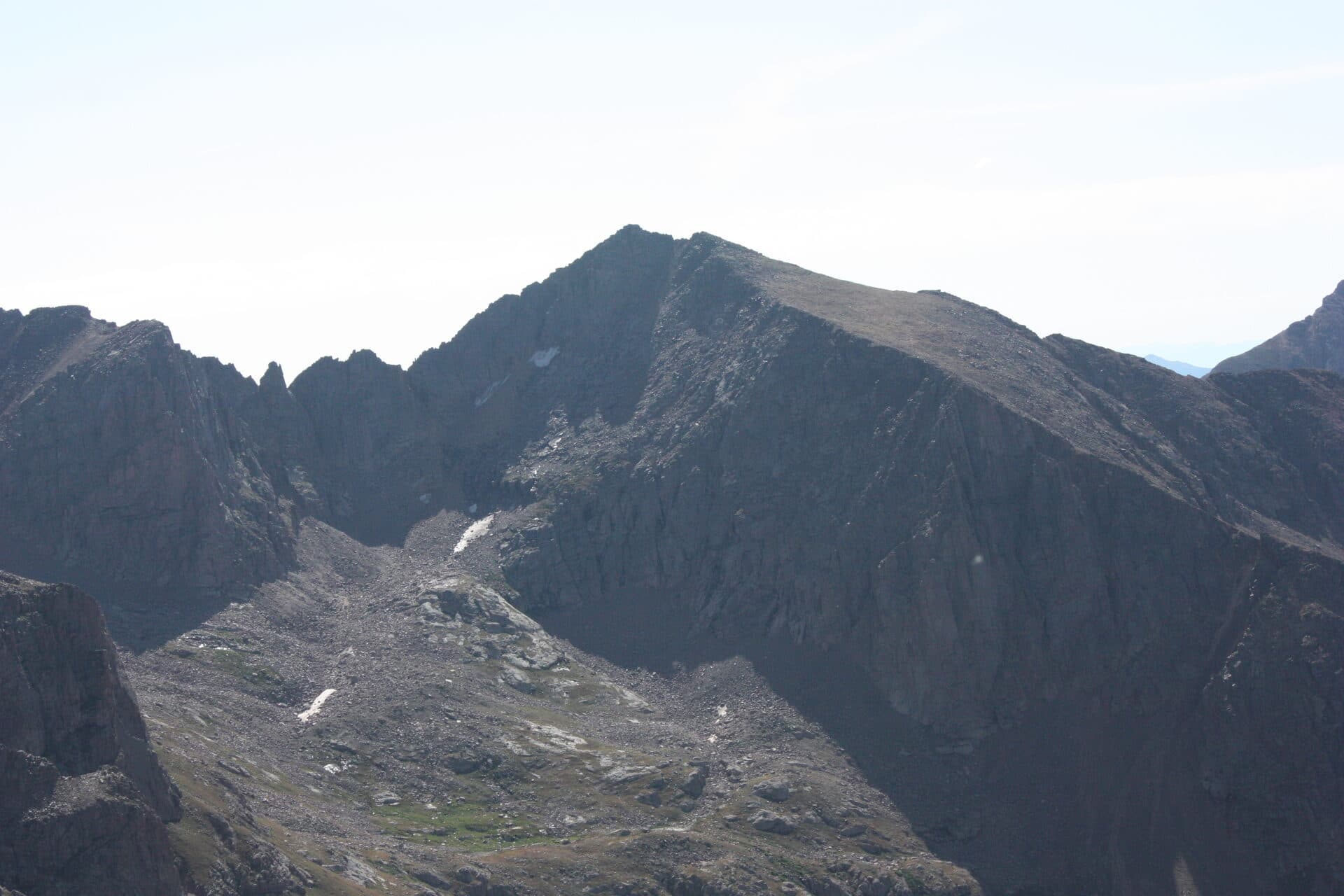
Alpine tundra above treeline. From about 11,500 ft on up, the forest disappears and you are walking on grass, talus, and rock. There are no obvious "the trail goes that way" cues, and cairns are easy to miss. Bring binoculars or use your phone camera's zoom to scan ahead for the next cairn before you leave the last one.
Heavy canopy on the San Juans' east slopes. Spruce-fir forest around Silverton, Ouray, and Telluride is dense enough to block GPS signal cold. Your phone will report a 200-foot accuracy circle when the real number is closer to 80 feet, and your tracked line will zigzag. Rely on map and compass under heavy timber, then sanity-check with GPS when you hit a clearing.
Summer monsoon fog. From about July 10 through mid-September, afternoon storms roll in fast and visibility above 12,000 ft can drop to under 200 ft in 10 minutes. This is where your back-bearings save you. If you took one at the saddle 20 minutes ago, you can walk straight back to it through the murk.
The false summit problem on 14ers. Bierstadt, Quandary, and Grays/Torreys all have at least one false summit, a high point that looks like the top from below but is not. The fix: study the route profile before you go, count the false summits, and check your altimeter (every GPS watch and most phones have one) against the map. If you are at 13,800 ft and you think you are about to top out on a 14,265 ft peak, you have one more push left.
For a deeper dive into Colorado-specific trail maps and what to print for each range, see the best Colorado trail maps.
Gear list
The basics for staying found, in priority order:
- Baseplate compass with declination adjustment (Suunto MC-2 or Silva Ranger 2.0)
- Paper topo map in a waterproof case (USGS 1:24,000 or NatGeo Trails Illustrated)
- GPS watch or phone with offline maps loaded (see best GPS watches for hiking Colorado)
- Battery pack (10,000 mAh USB-C, around 7 oz)
- Headlamp with fresh batteries, even on day hikes (see best headlamps for hiking in Colorado)
- Whistle (the Fox 40 Micro is loud and weighs nothing)
- Signal mirror (3 oz, packs flat)
- Notebook and pencil for writing bearings and times (pen ink freezes)
That is roughly $200 of gear and about a pound of weight. It is the cheapest insurance in your pack.
Before your first big trip, also read the Colorado hiking beginners guide for the broader Ten Essentials list, and altitude sickness prevention since elevation messes with your judgment, which is its own navigation hazard. If you are heading out in the cold months, the winter hiking beginners guide covers how snow changes the route-finding game.
FAQs
What is the best way to keep your bearings while hiking?
Combine a paper topo map, a declination-adjusted baseplate compass, and a back-bearing every 15 to 20 minutes. Use a GPS app like Gaia GPS or onX as a backup. The single most important habit is stopping at identifiable features (junctions, stream crossings, knobs) and confirming your position before you walk on.
How do you navigate without a compass?
You can use the sun (rises east, sets west, due south at solar noon in the Northern Hemisphere), shadows from a stick (the tip moves west to east through the day), and Polaris at night (the North Star is always within about 1 degree of true north). Moss on trees is unreliable. None of these are a substitute for a real compass, but they will get you a rough heading if you have lost yours.
What should you do if you get lost hiking?
Run the STOP method: Stop, Think, Observe, Plan. Sit down where you are, pull out your map and compass, try to identify the last point you knew your position. If you can confidently retrace, walk back. If you cannot, stay put, make yourself visible, blow three whistle blasts every few minutes, and use a satellite communicator if you have one. Do not walk downhill into unknown terrain hoping to find a road.
Are hiking apps better than maps?
No, they are a complement. Apps win on real-time location and trip logging. Paper maps win on reliability (no battery), big-picture context (you can see 20 miles at once), and durability. The hikers who never get into trouble carry both.
How accurate is GPS in mountains?
In open terrain with a clear sky, modern phone GPS is accurate to about 15 ft. Under heavy canopy, in narrow canyons, or on north-facing slopes that block satellite line-of-sight, accuracy drops to 50 to 100 ft. Cold weather and low battery also degrade the fix. Always cross-check the GPS position against the map before you trust it.
What is the most important navigation skill?
Identifying your position on the map. If you can look at the terrain around you, find three features on the map (a peak, a drainage, a junction) and confirm your location, you can solve almost any other navigation problem from there. This is the skill most hikers underpractice. Spend 10 minutes on every hike doing it deliberately.
How often should I take a back-bearing?
Every 15 to 20 minutes, or whenever the terrain changes meaningfully (you crest a ridge, drop into a new drainage, leave the treeline). Set a watch alarm if you tend to forget. On easy trail with obvious tread, every 30 minutes is fine. Off-trail or in fog, every 5 to 10 minutes.
Closing thought
Trail navigation is not magic. It is a few habits done consistently: map in the pocket, compass set for declination, back-bearings every 15 to 20 minutes, GPS as a backup with offline maps loaded, and the discipline to stop and run STOP the moment something feels off. Do that on every hike, even the ones you have done before, and unfamiliar terrain stops feeling unfamiliar.
For more on getting out there safely, see the Colorado hiking beginners guide, winter hiking for beginners, and altitude sickness prevention.
Get the Colorado 14er Packing Checklist (free PDF)
Plus a weekly note on the best Colorado trails, gear deals, and seasonal hike picks. No spam, unsubscribe anytime.
We respect your inbox. Unsubscribe anytime.