Conundrum Creek Trail
Maroon Bells-Snowmass Wilderness • Aspen, Colorado
Overview
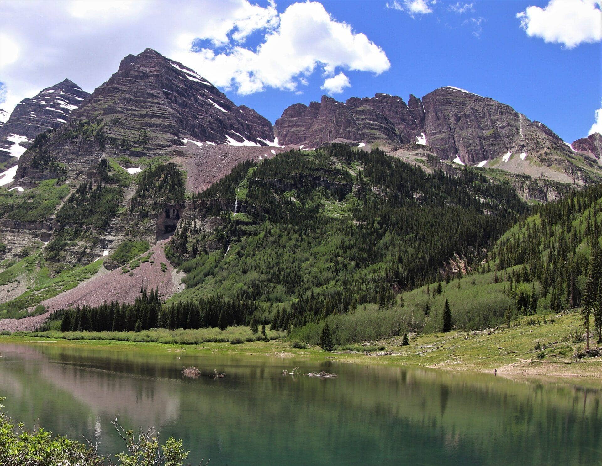
The actual trail leading to Conundrum Hot Springs, the highest hot springs in North America. The 8.5-mile one-way approach climbs through aspen and spruce forest along Conundrum Creek into a high alpine basin. Most hikers backpack rather than day-hike. Permits required for overnight stays. The full route covers 17 miles round trip with about 2,700 feet of climbing, and most hikers finish it in around 10 hours. It sits in the Maroon Bells-Snowmass Wilderness, near Aspen in Pitkin County, topping out at 11,200 feet.
Trail Highlights
How Hard Is It?
This is rated hard. The big 17-mile distance paired with demanding 2,700 feet of gain is what sets the effort level. You hike out to the turnaround and return the same way, so you see the route twice and can turn back early without missing the payoff. You spend time above 10,000 feet, so pace yourself and drink more than you think you need. If you hike regularly, plan for roughly 10 hours of moving time; add a buffer for photos, snack stops, and the slower pace at altitude.
Best Time to Hike
The best seasons here are summer and fall. Summer is the reliable window once the snow clears, though that also means the busiest trailheads and the daily afternoon thunderstorm risk. In Colorado the weather turns fast in the high country, so start early, aim to be heading down by early afternoon, and watch the sky. Lightning, not distance, is what turns most summer hikes around.
Getting to the Trailhead
The trailhead is in the Maroon Bells-Snowmass Wilderness, closest to Aspen (Pitkin County). A wilderness permit is required. Reserve it ahead of time, since quotas sell out for the popular dates. The parking coordinates are 39.1016, -106.8627; plug those into your map app rather than the trail name, since several Colorado trailheads share names. Mountain weather and road closures can change access, so confirm the access road is open before a long drive.
Dogs & Kids
Dogs are allowed, and they should stay leashed to protect wildlife and other hikers. It is a tough one for young kids given the 17 miles and 2,700 feet of gain. Save it for older, trail-tested kids or go without them.
What to Pack
Pack the Colorado basics: more water than you expect, layers for a 30-degree temperature swing, sun protection for the high-altitude UV, and rain protection for the afternoon. For a big, demanding hike like this one, the gear that earns its weight most is sturdy footwear and poles. Here is what we actually recommend for trails like this:
Frequently Asked Questions
How long does the Conundrum Creek Trail take?
Most hikers finish the 17-mile route in about 10 hours, plus stops. Allow extra time at altitude and for photos.
How hard is the Conundrum Creek Trail?
It is rated hard, with 2,700 feet of gain over 17 miles and a high point of 11,200 feet. Come with conditioning and high-country experience.
Is the Conundrum Creek Trail dog-friendly?
Yes, leashed dogs are allowed. Pack water for them and clean up after them.
When is the best time to hike the Conundrum Creek Trail?
The best seasons are summer and fall. Start early to beat both the crowds and Colorado's afternoon thunderstorms.
Do I need a pass or permit for the Conundrum Creek Trail?
A wilderness permit is required. Reserve it ahead of time, since quotas sell out for the popular dates.
Planning a Colorado trip? Get our packing checklist.
Free PDF + a weekly note on the best trails for the current season.
We respect your inbox. Unsubscribe anytime.
Trail Information
Nearby Trails in Maroon Bells-Snowmass Wilderness
Connected pages
- Hikes near Aspen
All curated trails in the Aspen area.
- Hiking in the Maroon Bells-Snowmass Wilderness
Regional trail guide.
Discover More Trails
Browse our complete directory of Colorado hiking trails with detailed guides and filters.
View All Trails