9 Best Hikes Near Fort Collins, Colorado (2026 Trail Guide)
Fort Collins sits right where the Great Plains crash into the Rocky Mountain foothills, and that collision of scenery creates some of the best day hiking on Colorado's Front Range. You've got reservoir ridgelines, prairie grasslands, river canyons, and granite summits all within a 45-minute drive. Whether you're looking for a quick morning loop or an all-day scramble, these nine trails deliver.
What You'll Learn
- Horsetooth Rock Trail
- Arthur's Rock Trail
- Greyrock Mountain Trail
- Bobcat Ridge Natural Area
- Coyote Ridge Natural Area
- Hewlett Gulch Trail
- Soapstone Prairie Natural Area
- Poudre River Trail
- Cathy Fromme Prairie
- What to Bring on Fort Collins Hikes
- Frequently Asked Questions
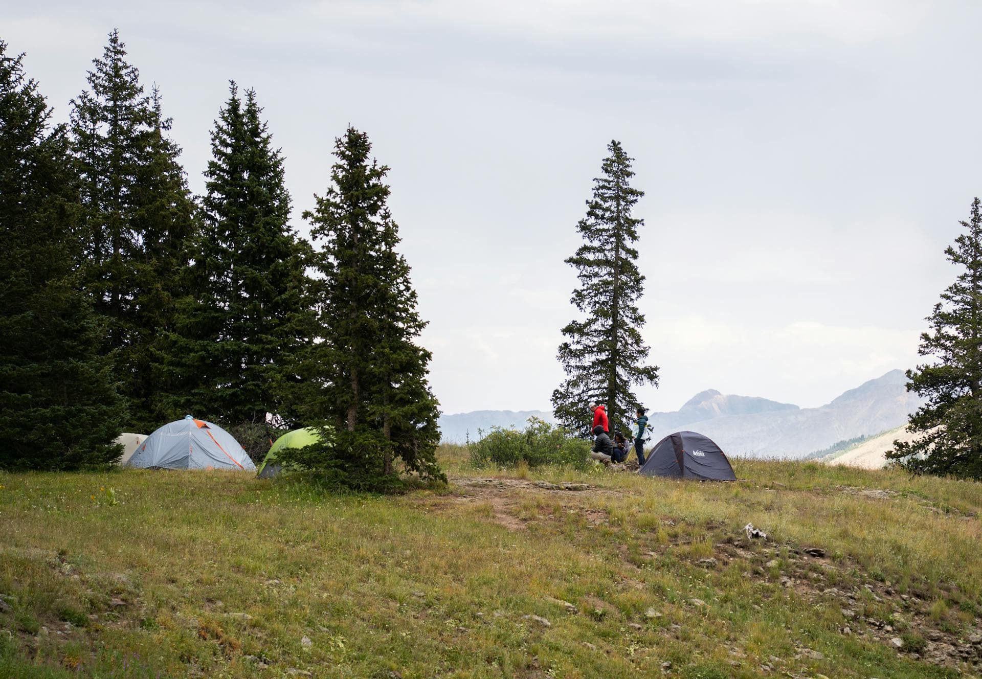
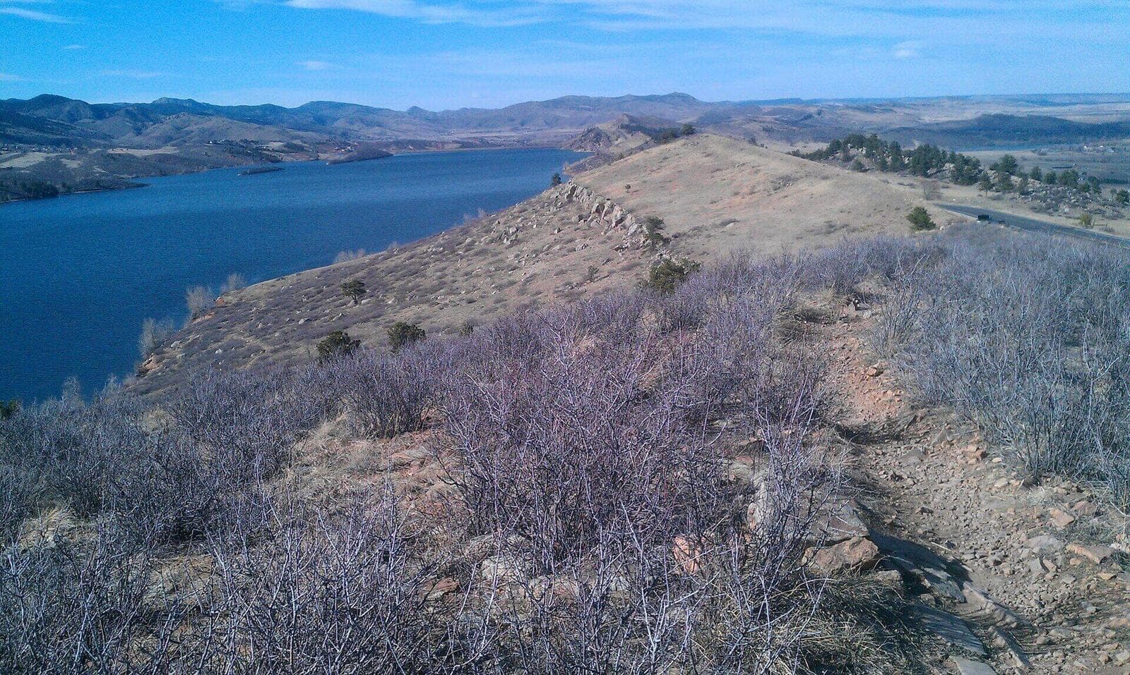
Horsetooth Rock Trail
Distance: 5.7 miles round trip | Elevation Gain: 1,660 ft | Difficulty: Moderate-Hard
This is the hike that defines Fort Collins. Horsetooth Rock's distinctive tooth-shaped granite formation towers over Horsetooth Reservoir, and the trail to the top rewards you with 360-degree views stretching from Longs Peak to Pikes Peak on clear days.
The trail starts at the Horsetooth Mountain Open Space parking lot (Larimer County parks pass required, $10/day or $80/year). You'll climb steadily through ponderosa pine and mixed conifer forest before breaking out onto exposed rock near the summit. The final push involves some easy scrambling over granite slabs.
Pro tip: Start early on weekends. The parking lot fills by 9 AM from May through October. Weekday mornings are your best bet for solitude.
Spring and fall are the sweet spots here. Summer afternoons bring afternoon thunderstorms, and the exposed summit is the last place you want to be when lightning rolls in. A solid pair of hiking boots with ankle support makes the rocky descent much easier on your knees.
Arthur's Rock Trail
Distance: 3.4 miles round trip | Elevation Gain: 1,100 ft | Difficulty: Moderate
If Horsetooth Rock is Fort Collins' signature hike, Arthur's Rock is its favorite warm-up. Located inside Lory State Park (state parks pass required), this trail packs a satisfying climb into a shorter distance. The summit offers sweeping views of Horsetooth Reservoir and the city below.
The trail begins with a gentle walk through meadow before pitching upward through a rocky gulch. The last quarter mile gets steep and scrambly, but nothing technical. Most hikers finish in 2 to 2.5 hours.
Wildlife sightings are common here. Keep your eyes open for mule deer, wild turkeys, and the occasional rattlesnake sunning on warm rocks in summer. Pack a reliable water bottle or hydration pack since there's no water source on the trail.
If you're visiting from out of town, pair this hike with our Colorado hiking beginners guide for altitude tips and a packing checklist.
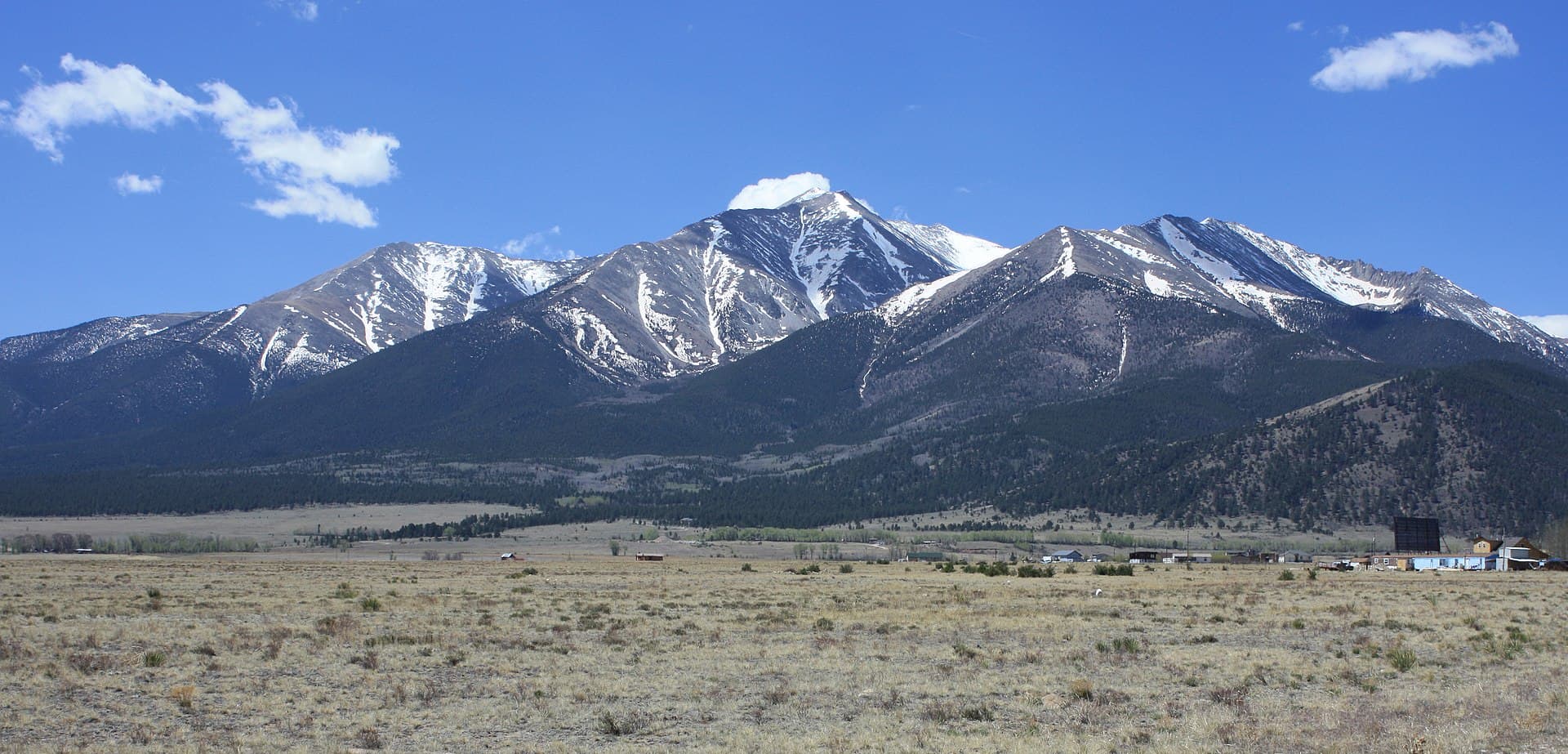
Greyrock Mountain Trail
Distance: 7.4 miles round trip | Elevation Gain: 2,100 ft | Difficulty: Hard
Greyrock is the big one. This trail in the Cache la Poudre Canyon climbs relentlessly to a massive granite dome with panoramic views of the Poudre River drainage and the peaks beyond. It's the most challenging hike on this list and one of the best summit experiences on the northern Front Range.
You've got two route options: the Greyrock Meadow Trail (longer, gentler grade) or the Greyrock Summit Trail (shorter, steeper). Most hikers go up the summit trail and loop back via the meadow. Allow 4 to 6 hours for the full loop.
The trailhead sits along Highway 14 in the Poudre Canyon, about 20 minutes west of town. Parking is free but limited. No dogs allowed.
Bring plenty of water (at least 3 liters), sunscreen, and a sturdy pair of trekking poles for the steep descent. Your quads will thank you.
Bobcat Ridge Natural Area
Distance: 3 to 8 miles (multiple loops) | Elevation Gain: 400-1,200 ft | Difficulty: Easy to Moderate
Bobcat Ridge is Fort Collins' hidden gem. This 2,600-acre natural area about 20 minutes west of town offers a network of trails through rolling foothills, open meadows, and pine-covered ridges. It's less crowded than Horsetooth and perfect for a peaceful weekday hike.
The Valley Loop (3 miles) works for families and casual hikers. For more of a workout, combine Ginny Trail with the D.R. Trail for a bigger loop with ridgetop views. The area is open sunrise to sunset, and there's no entrance fee.
Watch for golden eagles, prairie falcons, and black bears in early morning hours. The natural area also has significant cultural history, with homestead ruins and old quarry sites along the trails.
Coyote Ridge Natural Area
Distance: 2.5 miles round trip | Elevation Gain: 300 ft | Difficulty: Easy
Coyote Ridge is the go-to trail when you want views without a major commitment. The wide, well-maintained path climbs gently through shortgrass prairie to a ridgeline with Front Range panoramas. On clear days, you can see from Rocky Mountain National Park to Denver 's skyline.
This trail is popular with runners, dog walkers (dogs allowed on leash), and families. It's also excellent for wildflower viewing from late May through July. The parking lot on the east side of Highway 287 has room for about 30 cars.
One thing that sets Coyote Ridge apart: it's one of the best spots near Fort Collins for birding. Grassland species like lark buntings, western meadowlarks, and burrowing owls are all regulars here.
Hewlett Gulch Trail
Distance: 5.2 miles round trip | Elevation Gain: 800 ft | Difficulty: Moderate
Hewlett Gulch follows a seasonal creek through a narrow gulch in the Poudre Canyon, crossing the water multiple times before opening into a meadow. It's shaded, scenic, and a perfect summer hike when other trails feel like ovens.
The trail starts at the Hewlett Gulch trailhead on Highway 14, about 10 miles up the Poudre Canyon from town. Expect about a dozen creek crossings (some require rock-hopping, others you'll wade through in spring runoff). Waterproof hiking shoes aren't optional here.
This is also one of the more popular mountain biking trails in the area, so stay alert on weekends. Hikers have the right of way, but a friendly heads-up goes a long way.
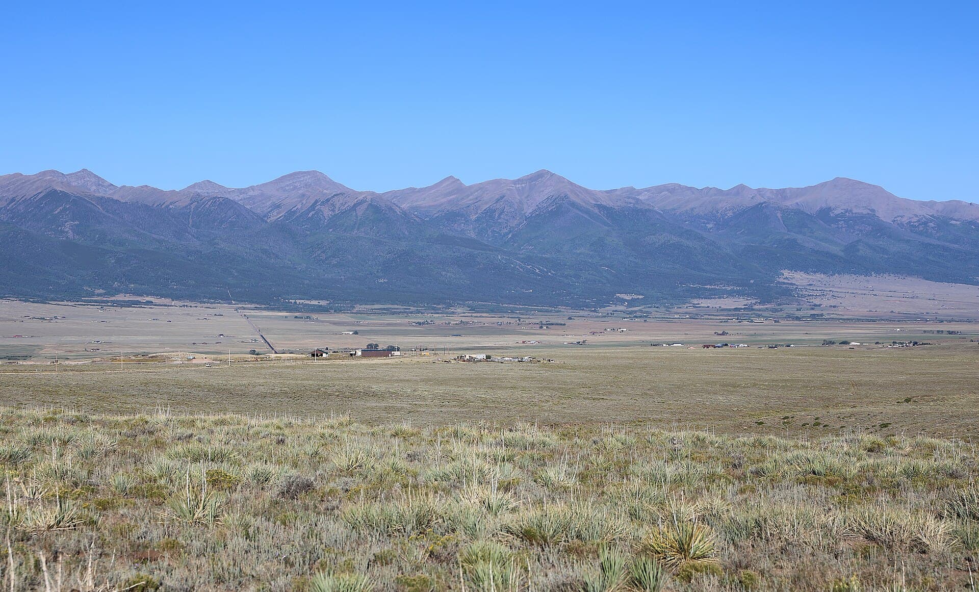
Soapstone Prairie Natural Area
Distance: 2 to 10+ miles | Elevation Gain: Varies | Difficulty: Easy to Moderate
Soapstone Prairie sits 25 miles north of Fort Collins, right on the Wyoming border, and it feels like a different world. This 18,700-acre preserve protects shortgrass prairie, sandstone hogbacks, and archaeological sites dating back 12,000 years. The Lindenmeier site here is one of North America's most significant Folsom culture archaeological discoveries.
Several trails wind through the property. The Towhee Loop (2.4 miles) offers an easy introduction, while the Mahogany Trail connects to Red Mountain Open Space for longer adventures. The area is open mid-March through November (closed in winter to protect wildlife).
Bring binoculars. Pronghorn, coyotes, and raptors are common. The wide-open scenery also makes this the best spot near Fort Collins for photography, especially at golden hour.
If you're planning a longer day here, check our guide to the best hiking food and trail snacks so you've got enough fuel.
Poudre River Trail
Distance: Up to 10 miles one way | Elevation Gain: Minimal | Difficulty: Easy
Not every hike needs to climb a mountain. The Poudre River Trail follows the Cache la Poudre River through Fort Collins on a paved path that's perfect for easy walks, bike rides, and family outings. The full trail runs about 10 miles from Overland Trail to I-25, with multiple access points along the way.
Spring is especially nice when the river runs high with snowmelt and the cottonwoods are leafing out. Great blue herons, belted kingfishers, and white pelicans all use the river corridor.
This trail connects to Fort Collins' broader trail network, so you can link up with Spring Creek Trail or the Mason Trail for longer routes. It's also a great option when you want to combine a walk with a stop at one of Fort Collins' legendary craft breweries.
Cathy Fromme Prairie
Distance: 3.8 miles (Fossil Creek Trail loop) | Elevation Gain: 100 ft | Difficulty: Easy
Cathy Fromme Prairie is a 1,000-acre natural area on Fort Collins' south side with wide gravel trails through native grassland. The Fossil Creek Trail cuts through the prairie and connects to other city trails.
It's flat, accessible, and great for birding. Raptor nests dot the property, and you'll regularly spot red-tailed hawks, northern harriers, and the occasional bald eagle in winter. Interpretive signs along the trail explain the ecology of Colorado's disappearing prairie habitat.
This isn't a wilderness experience, but it's a genuinely enjoyable walk with big views of the foothills. Good for early mornings or sunset strolls.
What to Bring on Fort Collins Hikes
Fort Collins trails range from 5,000 feet (city trails) to over 7,600 feet (Greyrock summit). The altitude, dry air, and fast-changing weather mean you need to pack smart even for short hikes.
Must-haves for every hike:
- Water: at least 1 liter per hour of hiking at altitude
- Sun protection: hat, sunglasses, SPF 50+
- Layers: mornings can be 20 degrees cooler than afternoon
- A lightweight daypack with rain shell
- Snacks: trail mix, bars, fruit
For longer hikes (Greyrock, Soapstone Prairie):
- Trekking poles
- First aid kit
- A quality headlamp in case you're out later than planned
- Emergency whistle and space blanket
Check the weather forecast before every hike. Afternoon thunderstorms are a fact of life from June through September, and exposed ridgelines like Horsetooth Rock and Greyrock get dangerous fast when lightning moves in. Plan to be off summits by noon in summer.
Frequently Asked Questions
What's the best hike near Fort Collins for beginners?
Coyote Ridge Natural Area is the best beginner hike near Fort Collins. It's 2.5 miles round trip with only 300 feet of elevation gain, and the wide trail and open views make it easy to handle. Arthur's Rock is a good next step when you're ready for something steeper.
Are dogs allowed on Fort Collins hiking trails?
Dogs are allowed on leash at Coyote Ridge, Cathy Fromme Prairie, and Poudre River Trail. Lory State Park and Horsetooth Mountain Open Space also allow leashed dogs. However, dogs aren't permitted at Bobcat Ridge or on the Greyrock Mountain Trail in the national forest wilderness area.
When is the best time to hike near Fort Collins?
Late April through October is prime hiking season. Spring (April through May) brings wildflowers and mild temps but muddy trails. Summer is warm with afternoon storms. Fall (September through October) offers the best combination of stable weather, cooler temps, and golden aspen foliage. Winter hiking is possible on lower trails but requires traction devices.
Do I need a pass to hike at Horsetooth?
Yes. Horsetooth Mountain Open Space requires a Larimer County parks pass ($10/day or $80/annual). Lory State Park requires a Colorado Parks and Wildlife pass ($10/day or $80/annual). Trails on National Forest land (like Greyrock) are free. City of Fort Collins natural areas (Bobcat Ridge, Coyote Ridge, Cathy Fromme Prairie) are free.
Is Fort Collins a good base for hiking Rocky Mountain National Park?
Fort Collins is about an hour's drive from the Fall River entrance to Rocky Mountain National Park, making it a solid base for day trips. You'll need a timed entry reservation from late May through October. Check our Rocky Mountain National Park guide for trail recommendations and planning tips.
Ready to hit the trail? Start with Horsetooth Rock for the classic Fort Collins experience, or head to Coyote Ridge for an easy introduction to the area's foothills. Either way, you're in for some of Colorado's best Front Range hiking.
Get the Colorado 14er Packing Checklist (free PDF)
Plus a weekly note on the best Colorado trails, gear deals, and seasonal hike picks. No spam, unsubscribe anytime.
We respect your inbox. Unsubscribe anytime.